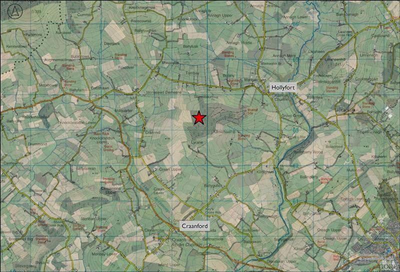
The proposed 8-turbine layout and turbine dimensions will be subject to change as the detailed environmental studies progress, which will take place in the coming months. The project will also include access tracks, a substation and ancillary infrastructure, a temporary construction compound, a temporary meteorological mast, underground cabling and a grid connection which links the wind farm to the national electricity grid.
Regnum is currently in discussions with Coillte about the inclusion of sections of Coillte property in the proposal in addition to other third party lands. If you have any Coillte related queries about the proposal, please contact: lsinfo@coillte.ie

